omg, bxgrl, no kidding. And then with service changes on the weekend, lifetime New Yorkers can barely figure out what is going on, much less hapless tourists.
BHS- there was a study a few years ago- stations are at their full capacity and so are the number of trains it can handle. To add more lines would mean building new tracks and tunnels.Considering the time and cost of the new leg of the Lexington line, I don’t see that happening.
Louisiana property law is interesting, because in the early days land ownership was based on frontage along a river, bayou, or other waterway.
Ownership went back from the river as far as the land was usable (usually 1-3 miles before the swamps became to deep).
This has led to some very interesting property maps today.


By donatella on May 6, 2011 10:35 AM
Isn’t the MTA supposed to resume working on the 2nd Avenue subway soon?
This question will be asked in 2014 and again in 2020.
Apparently none of you have been in the depths of the E&M trains at 53rd and Lex, under Citicorp.
From a crowd standpoint, that one is far more dangerous than Fulton/Broadway-Nassau
Dona- I didn’t know they stopped.
Isn’t the MTA supposed to resume working on the 2nd Avenue subway soon?
right bhs, river and lake frontage huge in waterfront property.
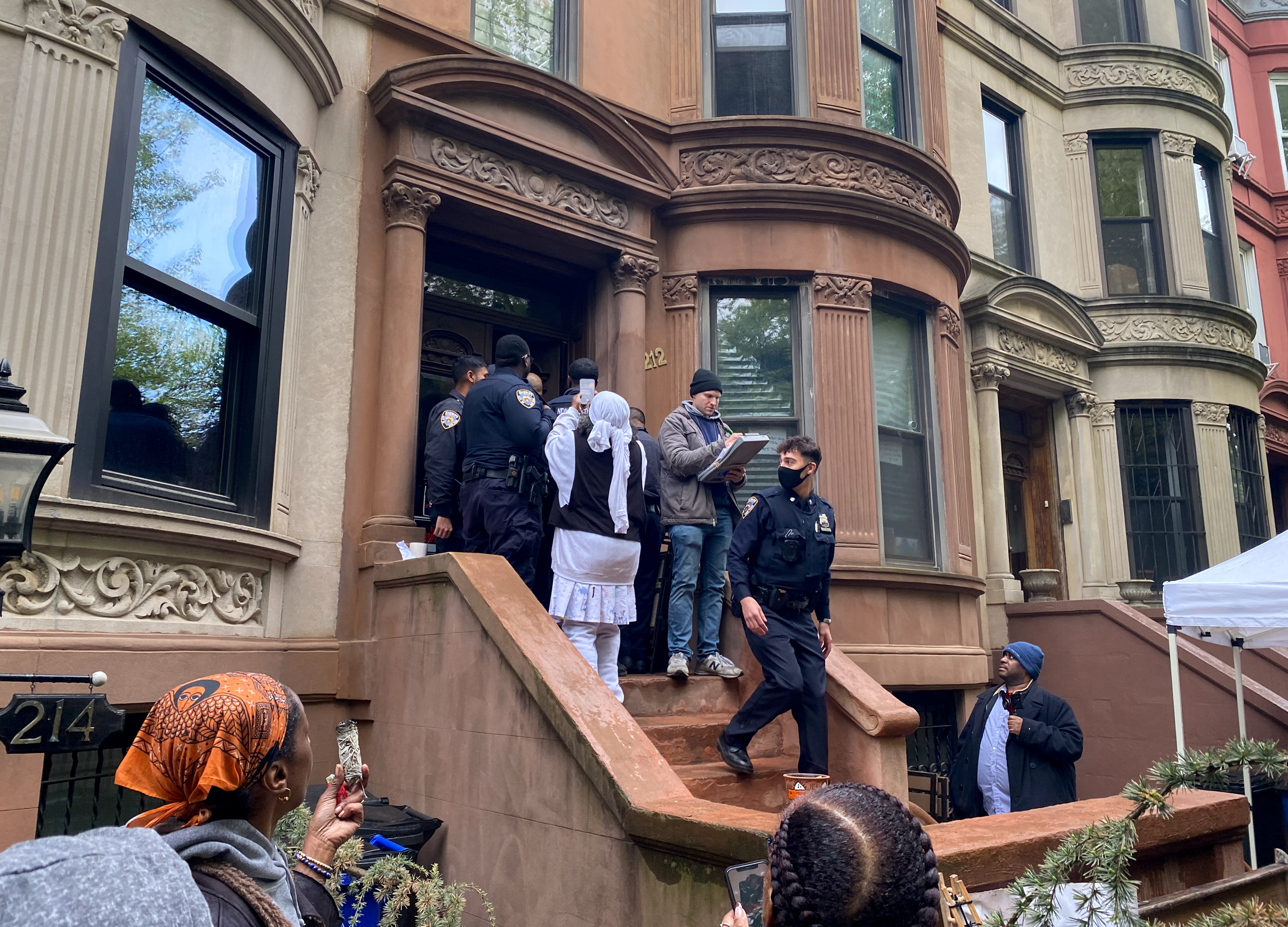
“Let me ask you. Is there a worse station in the city than Fulton Street? ”
Chambers J/Z
Bowery J/Z
21st-Van Alst G
omg, bxgrl, no kidding. And then with service changes on the weekend, lifetime New Yorkers can barely figure out what is going on, much less hapless tourists.
BHS- there was a study a few years ago- stations are at their full capacity and so are the number of trains it can handle. To add more lines would mean building new tracks and tunnels.Considering the time and cost of the new leg of the Lexington line, I don’t see that happening.
Frontage in history:
Louisiana property law is interesting, because in the early days land ownership was based on frontage along a river, bayou, or other waterway.
Ownership went back from the river as far as the land was usable (usually 1-3 miles before the swamps became to deep).
This has led to some very interesting property maps today.