Check Out This Interactive Map for Your Vision Zero Suggestions
The Department of Transportation released this interactive map for New Yorkers to report their experiences with city streets. According to the DOT, “Your knowledge will be used to create a traffic safety plan for each borough that will describe how to make each borough’s streets safer for everyone, whether walking, biking or driving.” Map users…

The Department of Transportation released this interactive map for New Yorkers to report their experiences with city streets. According to the DOT, “Your knowledge will be used to create a traffic safety plan for each borough that will describe how to make each borough’s streets safer for everyone, whether walking, biking or driving.” Map users can point out problems like red light running, double parking, jaywalking, speeding and cyclist behavior on specific streets and intersections.
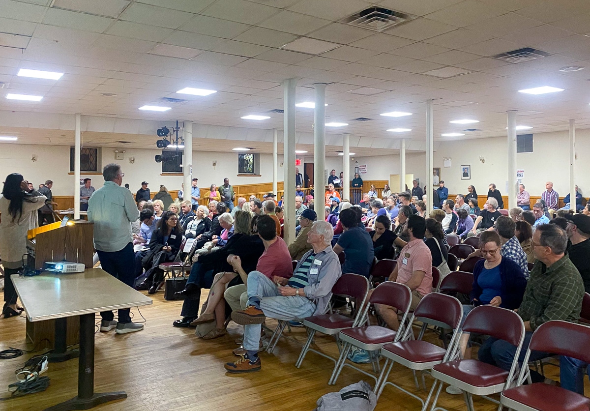
The map supplements a number of public workshops held by the city in regards to street safety, and Mayor de Blasio’s goal to reduce traffic-related deaths to zero. As the Queens Courier notes, a number of Vision Zero workshops are coming for Queens: Thursday, May 1st, from 6:30 to 8:30 pm at I.S. 231, 139-00 Springfield Boulevard; Wednesday, May 21st from 6:30 to 8:30 pm at Bohemian Hall, 29-19 24th Avenue; and Tuesday, May 29th, 6:30 to 8:30 pm at the Jamaica Performing Arts Center, 153-10 Jamaica Avenue.


What's Your Take? Leave a Comment