
Part One: A History of the Strong Place Properties
Here’s the second installment to the Strong Place Construction Blog, a series following Brennan Realty Services and their team through the development of three townhouses in Cobble Hill, at the corner of Kane and Strong Place. Today Brennan Realty posts about the history of the Strong Place properties. The history of the properties will be…

Here’s the second installment to the Strong Place Construction Blog, a series following Brennan Realty Services and their team through the development of three townhouses in Cobble Hill, at the corner of Kane and Strong Place. Today Brennan Realty posts about the history of the Strong Place properties. The history of the properties will be spread over three posts, so tune in for the next couple installments.
Cobble Hill, Brooklyn, is an old neighborhood, with a history that goes back to the beginnings of Breukelin, and the area’s first Dutch settlers. The first farmers in the area were granted land patents as early as the 1640’s, for land stretching from the East River shore to the Gowanus Valley. What is now Cobble Hill was a land of rich farmland, heavy with apples, peach and other fruit trees, the farmers taking their sustenance and incomes from the farms and the river nearby.
By 1766, the area was known as “Cobleshill”, or sometimes “Ponkiesbergh”, named for now unknown people or places. This covered the land east of Red Hook Lane, near what is now the intersection of Atlantic Avenue and Pacific Street, with Court Street. Cobble Hill Fort was a platform on Coble’s Hill, with three cannon protected by spiral trenches. It was also known as “Smith’s Barbette”, or “Spiral Fort.” It was one of several forts built to protect the new American forces during the Battle of Long Island, and was important because of its height and from this vantage point. Washington had arranged for two cannon to sound when the British had been sighted, and from here, he watched the debacle that took place in nearby Gowanus, a losing bloody battle that almost destroyed the colonial army, here at the beginning of the war in 1776. After the British took over all of Brooklyn and New York City, they tore down the top of Cobble Hill, so that this Brooklyn vantage point would never again be able to look upon their troop movement. They then settled down, the officers occupying the homes of prosperous citizens such as Philip Livingston, while the troops built huts on the land of other farmers, such as Ralph Patchen. Over thirty years later, during the War of 1812, Cobble Hill was again built up and fortified, and was called “Fort Swift”, part of the lines of defense of Kings County.

Battle of Long Island
Following the American Revolution, the areas we know as Cobble Hill, Carroll Gardens, Red Hook and Gowanus were all called South Brooklyn. By 1834, the village of Brooklyn, which included Brooklyn Heights, had incorporated into the City of Brooklyn, and this included these South Brooklyn neighborhoods. The old Dutch farms were becoming part of the urban fabric. The old Red Hook Lane had become Court Street. Henry Street was opened by 1828, and by 1834, the gridiron of streets stretched south to Butler Street, which is present day Kane Street. Strong Place had already been established and paved by that time, and is the oldest street in present day Cobble Hill.
An 1840 street directory shows forty-five homes, with development occurring rapidly, as builders built speculative housing in groups of three and four houses, joining the single homes specifically built by wealthy merchants and businessmen. The area was close enough for commuting to Manhattan, via the Fulton ferry, established back in 1814. Many prominent area men commuted from their suburban Cobble Hill homes, including J. S. DeGraw, George A. Jarvis, president of the Lenox Insurance Company, and James Van Nostrand, president of the Merchants Exchange Bank of New York. Van Nostrand’s home at 439 Henry Street, will be important to our story.
By the 1860’s, Cobble Hill was an established community, with fine churches, stores, banks and shops, but it did not remain an upperclass enclave for very long. Albert T. White’s model tenements, built in 1876-79 heralded the changes in the neighborhood, as many of the houses slowly became rooming houses, the homes of the many immigrant groups to settle in Brooklyn, specifically the Irish, Swedes, Norwegians, English and Germans. By the 20th century, Cobble Hill, still part of South Brooklyn, began to welcome Spanish speaking immigrants, and members of the Syrian and Lebanese communities. The splitting of Red Hook from the rest of South Brooklyn by Robert Moses’ Brooklyn Queens Expressway in the 1950’s was a blow to this now working class community.
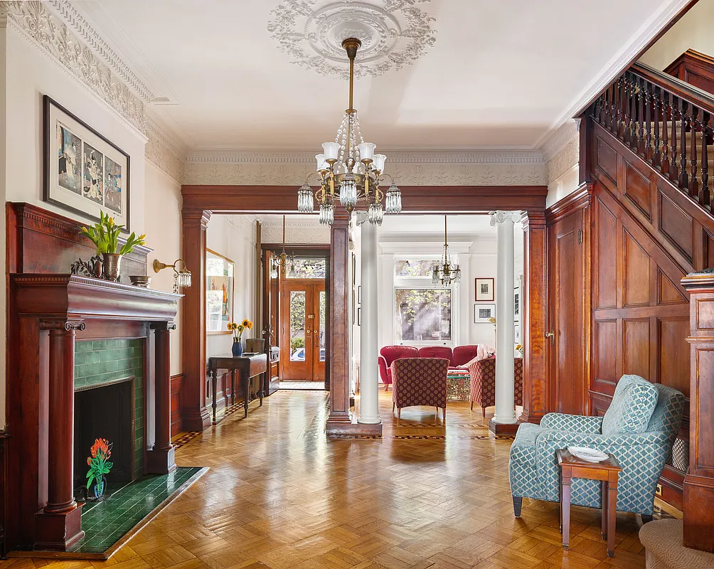
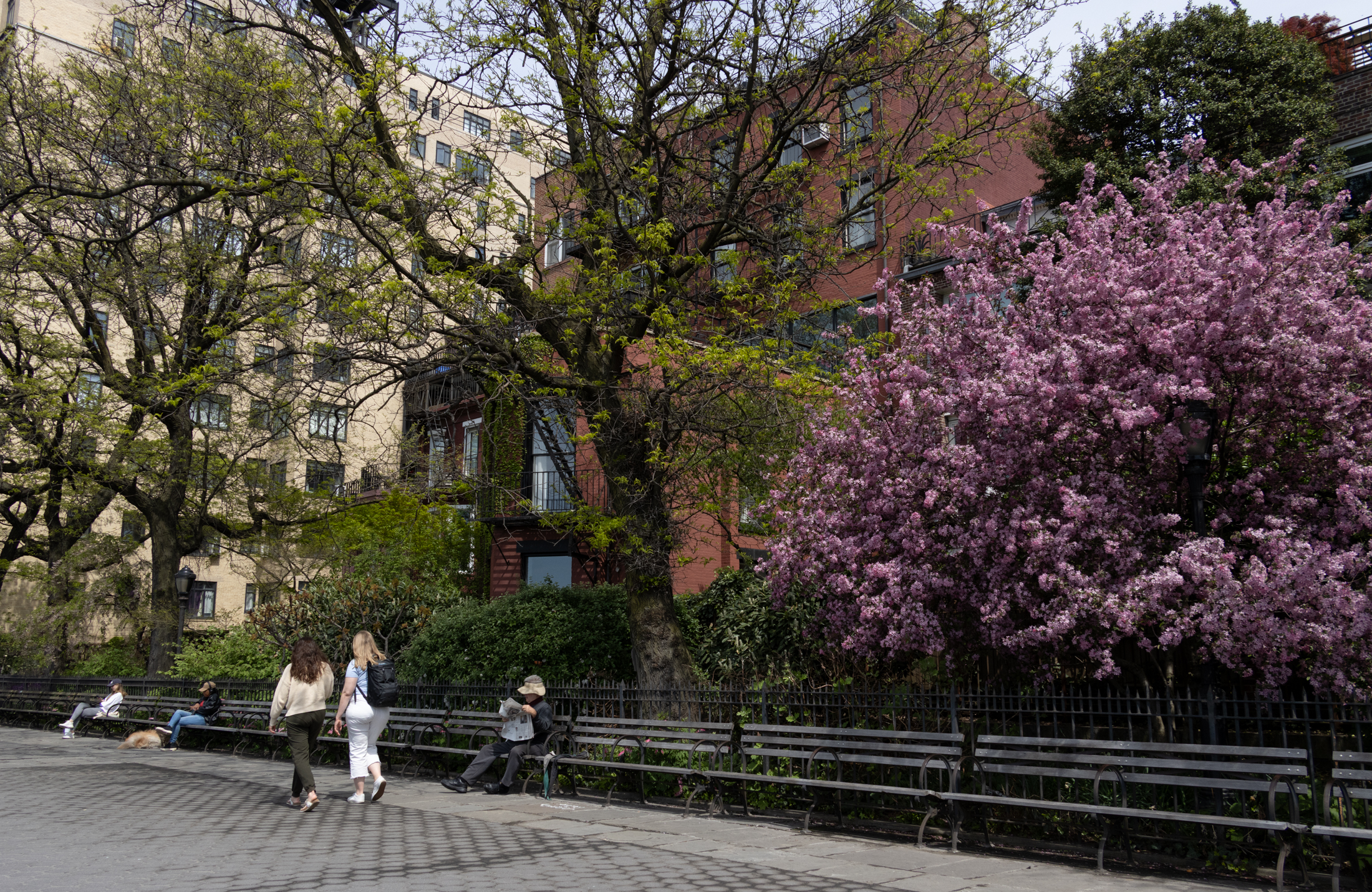
In 1959, the Cobble Hill name was reintroduced to the area, and the re-settlement of wealthier homeowners, many priced out of Brooklyn Heights, slowly began. In 1969, the main streets of Cobble Hill were designated as an historic district by the new Landmarks Preservation Commission, protecting the fine collection of mid-18th century buildings from being further altered or destroyed. Today, Cobble Hill’s tree-lined streets contain some of Brooklyn’s most well preserved row house blocks, with community pride evident in the restoration and renovation of these brownstone and brick houses, most with their original wrought iron railings and fences. The past is very evident on these streets, but the future of the neighborhood also lies in the adaptive uses of buildings and space, as evidenced in the new Strong Place Condominiums, created in the old Strong Place Church.
Strong Place
Strong Place was the earliest settled street in the southern part of what is now Cobble Hill. It had eight residents in 1840, and its placement guided city planners in arranging the parallel and intersecting streets around it. Corporation Council notices in the Brooklyn Eagle in 1842 show that it was paved, and scheduled to have gas streetlights installed by the end of 1843. This one block, residential street is named for Selah Strong, Esq., a lawyer and politician with a pedigreed lineage. He was a descendent of the Brewster family on his mother’s side, the leaders of the Mayflower Pilgrims. He was also a descendent of Lion Gardiner, an English settler and soldier who was one of the founders of the first English settlement in New York State. Born in Brookhaven, in 1792, He graduated from Yale College in 1811, was admitted to the bar in 1814, and practiced in New York City. He served in the military during the War of 1812, later, he served in Congress, became a judge, and eventually a judge in the New York State Supreme Court. He died in 1872.
The nearby harbor, and easy access to the Fulton Ferry made Cobble Hill a perfect suburb, and Selah Strong was not the only wealthy man to have his suburban retreat here. His estate had been part of the older Cornell farm and mill, established in the mid 1700’s. His land stretched to Baltic Street, a block away from present day Strong Place, and his home was in the middle of the block that now bears his name. A Brooklyn city map from 1874 shows the border of his old estate, with the present day street grid overlaid on it. By the time the block was being developed, Mr. Strong had long moved on, to Long Island, leaving only his name to the street, and no buildings from that time period exist today.
By the 1840’s a New York broker named Charles Kelsey had acquired land on both sides of the block, building the largest house for himself. By the end of the decade, he had actually lived in three of his houses, moving as he sold homes, and built more. He also built speculative homes on other Cobble Hill blocks. Houses were built on this block until the end of the 19th century, ranging in style from the Greek Revival of the 1830’s, through the Neo-Grec style houses of the early 1880’s, to the Romanesque and Queen Anne styles of the 1890’s. The apartment buildings are from the turn of the century, when the need for middle-class multiple unit dwellings were changing the face of all of the streetscapes of Brooklyn.
Tune in next week for Part Two….
I may be wrong, but I thought “Cobble Hill” was just a literal translation of the Dutch “Ponkiesberg”, meaning the same thing.
If you know anything about that small adorable house that is set way back mid-block (west side) please included it. I have always been curious! PS: Can’t wait for more about the Van Nostrand house–very interesting history!
If you know anything about that small adorable house that is set way back mid-block (west side) please included it. I have always been curious! PS: Can’t wait for more about the Van Nostrand house–very interesting history!
Trying to remember now—it may have been a stable at one time but I seem to remember there being some discussion about it being where the funeral parlor kept its horses and hearse—at least that was the discussion I had with old timers.