
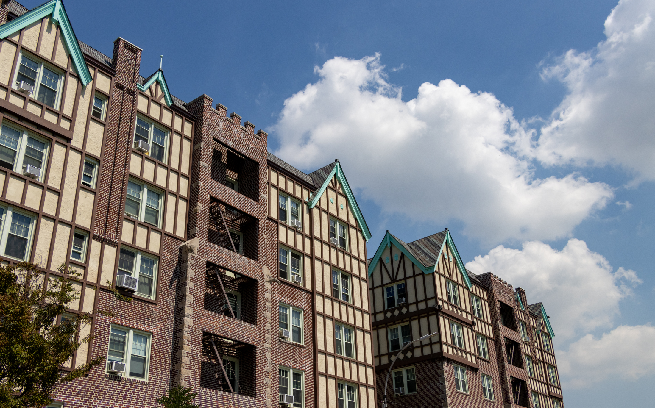
Details on the Borough Hall Skyscraper District
The creation of the Borough Hall Skyscraper District had been in the works for at least five years (we reported on it being discussed at a Brooklyn Heights Association meeting back in 2005) before it was officially presented at a Landmarks hearing on October 26. But we had yet to see a proposed map of…

The creation of the Borough Hall Skyscraper District had been in the works for at least five years (we reported on it being discussed at a Brooklyn Heights Association meeting back in 2005) before it was officially presented at a Landmarks hearing on October 26. But we had yet to see a proposed map of the district until Community Board 2 sent out the materials yesterday for next Tuesday’s meeting. (Turns out it’s been available on the LPC site for a while though.) In addition to running the map above, we’ve cut-and-pasted the text of the district description that was also included in the mailing below. We’d be surprised if it wasn’t ultimately approved, but, as Crain’s and The Post have pointed out, not everyone is wild about the idea.
In the first half of the nineteenth century, especially following the chartering of the City of Brooklyn in 1834 and the completion of its new City Hall in 1848, a distinct civic and commercial center began to crystallize along the eastern edge of residential Brooklyn Heights. As the city continued to grow during the 1850s and 1860s—in the process becoming the nation’s third-most populous urban area—the streets immediately adjacent to City Hall were taken over almost exclusively by businesses.
In the later decades of the nineteenth century transportation improvements further encouraged commercial development in the area. The Brooklyn Bridge, which opened in 1883, directly connected the neighborhood with Manhattan’s financial center. Soon newer—and often much taller—buildings began to rise on the surrounding streets, including the impressive Romanesque-Revival Franklin Building that survives at 186 Remsen Street.
Brooklyn’s commercial heart continued to grow in the years following the consolidation of Great New York in 1898. The Temple Bar Building, for example, was erected in 1901 at the corner of Court and Joralemon Streets and was intended to attract the city’s leading lawyers to the borough. Other office buildings soon followed including the speculative venture at 32 Court Street that was completed in 1918.
The conception and construction of the Brooklyn Municipal Building—originally planned in 1909 but not completed until 1927—lead many to speculate that the area surrounding Brooklyn’s Borough Hall would become a financial center to rival that of Lower Manhattan. The area’s tallest and most architecturally intricate skyscrapers were erected during this period, particularly the stately, 35-story Montague-Court Building at 16 Court Street and the handsomely detailed Brooklyn Chamber of Commerce Building at 75 Livingston Street, both completed in 1927.
The proposed Borough Hall Skyscraper Historic District, comprising approximately 20
properties, is characterized primarily by tall commercial buildings erected in the late nineteenth and early twentieth centuries. Designed in a range of styles from the Romanesque-Revival to the Beaux-Arts to the Modern, the structures in the study area represent the work of an impressive group of architects including Helmle, Huberty & Hudswell; McKenzie, Voorhees & Gmelin; George L. Morse; the Parfitt Brothers; Schwartz & Gross; H. Craig Severence; and Starrett & Van Vleck. It contains many of the borough’s most architecturally distinguished business buildings, as well as its two most significant civic structures—the Brooklyn Municipal Building and the individually-designated Brooklyn Borough Hall.


Babs — sort of agree… other than the buildings they chose. They should landmark Borough Hall and the Municipal Building and maybe one or two others.
Not a whole swath of commercial real estate to satisfy some sort of aesthetic. It’s always amusing that folks forget that there was SOMETHING ELSE here when these buildings were built. i.e., they wouldn’t exist if they didn’t knock something down.
They should be faaaaaaar more careful and selective about these designations. Money is spent on architecture in these sorts of areas!! The “architecturally significant” 50-story office building of 2045 isn’t going to be built in Ozone Park, Queens. It’s going to be built in areas like THIS…
Yeah, this is really such a tiny little section. It is needed though, given some of these buildings are fairly small compared to the average modern-day skyscraper, and thus need the landmarking should they be considered for demolition sometime in the future. The best example for this is buildings like Hotel Penn in Manhattan, which will soon face the wrecking ball for an oversized and wholly unneeded plump skyscraper that will take years to complete, and in general, is just ugly compared to the current Stanford White classic. So, yes, the majority of these buildings need protection for the time being.
I’d expand the district if anything but there is room for new development there, and god fordbid we halt the construction of DoBro from becoming some far-fetched residential mecca.
Right now though, it’s not really a section of Brooklyn that needs the most attention or protection but a district that is landmarked is a win for New York either way.
This is such a small stretch of property to be landmarked, and the buildings in question, including Borough Hall and the Municipal Building, are so worthy of landmarking, both for historic and architectural reasons, that I suspect anyone against it feels that way for other reasons. The Real Estate Board of NY, for example, an early opponent, later expressed on its Facebook page that what it was really upset about was the proposed expansion of the Upper West Side Historic Districts. Wah, wah, developers can’t just do whatever they want wherever they want. Boo hoo!
This is ridiculous. If this is approved, we know that the LPC has gone off the rails. One of the most arbitrary and *unnecessary* futures strains on the business community and regulatory agencies.