
Red Hook Post-Sandy Flood Protection Plans Move Closer to Finish Line
With rounds of presentations and approvals necessary, it will likely still be months before construction of floodgates, walls and other water mitigation initiatives begins.

NYC Planning released a rendering showing a flood resiliency plan around Red Hook. Rendering via NYC Planning
![]()
This article was originally published on by THE CITY
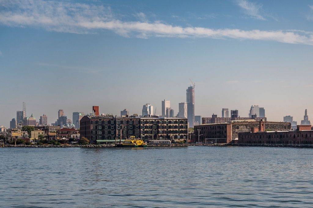
More than a decade after Hurricane Sandy flooded nearly all of Red Hook, the Brooklyn neighborhood is finally closer to getting some coastal protection.
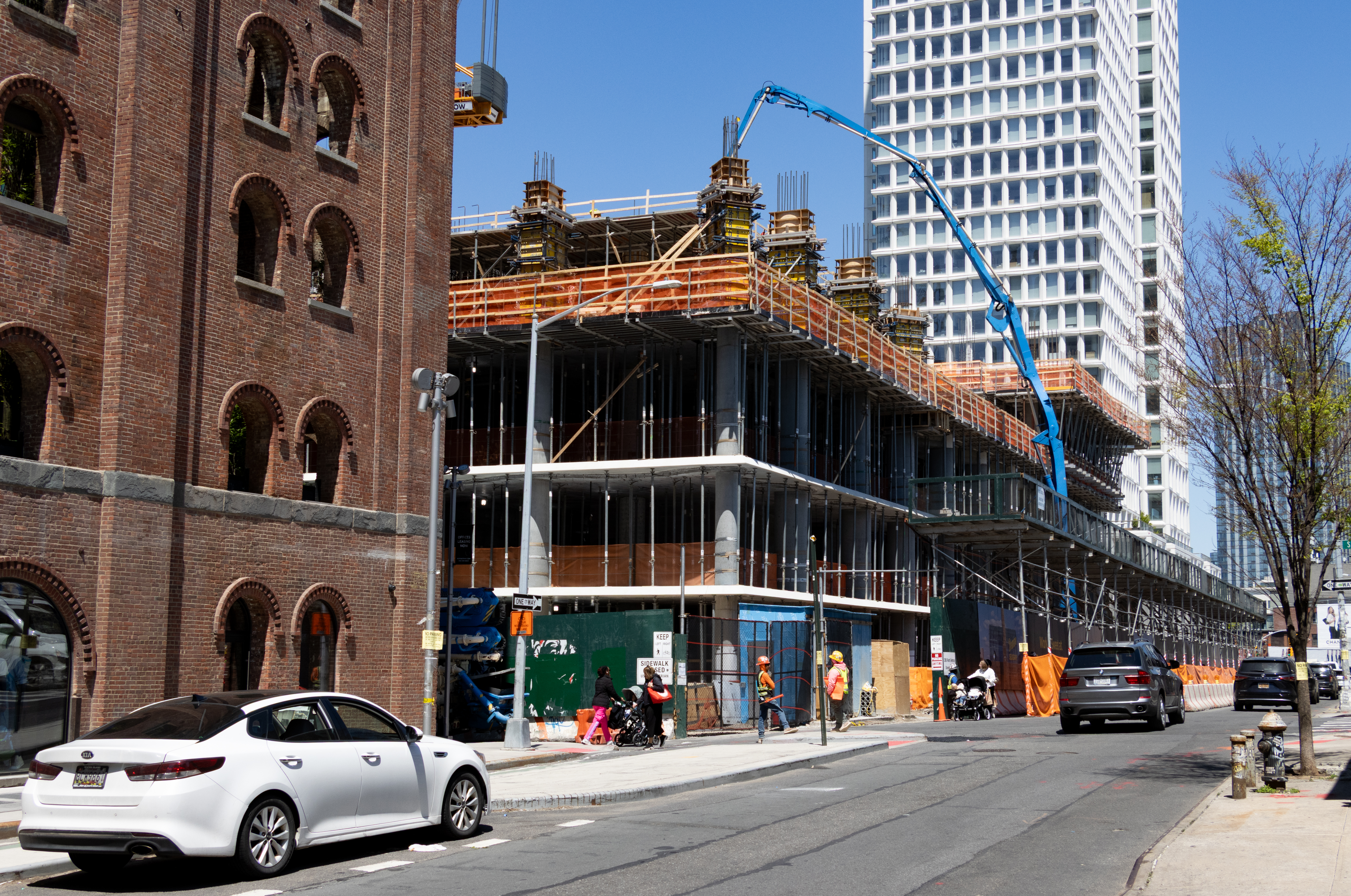
The $100 million Red Hook Coastal Resiliency Project began the city’s months-long land use review process this week with a presentation before the City Planning Commission on Monday.
The proposal is the first of its kind to be designed for a mixed-use neighborhood, one that is both residential and industrial, according to the Department of City Planning.
It also stands out from other coastal protection projects, like East Side Coastal Resiliency in Manhattan, because Red Hook’s waterfront is mostly privately owned and used for maritime purposes.
Locals who lived through Sandy in 2012 and have since watched shovels hit the ground for coastal protection efforts elsewhere around the city said it’s high time for their neighborhood.
“I wish the process all the best of luck to save this beautiful space called Red Hook,” said Karen Blondel, a longtime resident. “They care more about the real estate in Lower Manhattan, and it’s more populated, so I get it, but I do take a look at all of that, how many times we fight for stuff.”
The Red Hook coastal protections are designed to loop around the peninsula, featuring flood walls and gates that can be flipped up or slid across streets to block storm water. Some streets will be raised and parts of the Brooklyn Greenway will be expanded. Todd Triangle, a small park on Halleck Street, will also get bigger under the plan.

“We’ve waited forever. There was a lot of disbelief that we would ever get any type of protection,” said Red Hook resident Andrea Sansom. “We need all the help we can get. This isn’t the only solution, but it’s an important step.”
After Sandy flooded their three-story house, Sansom said she and her husband retrofitted it to be able to fare better in the future. They elevated the mechanicals and installed flood vents on the bottom, among other improvements.
“My husband and I didn’t imagine the [Red Hook Coastal Resiliency project] would happen any time soon, and we didn’t want to go through anything like what we experienced ever again.”
She added, “Hopefully we will never know if it was effective, but our premiums are lower and we feel confident that our house is exponentially safer.”
Now that the resiliency project is moving forward, with the design 90 percent complete, she’s welcoming it as another layer of protection, as long as the flood walls don’t block access to and views of the water — something city officials have indicated the project won’t do.
Getting to Yes
The next step requires the four city agencies — the departments of Design and Construction, Citywide Administrative Services, Parks and Transportation — getting approval from the City Planning Commission and City Council as part of the land use review process. This will enable the project to advance, including the construction, maintenance, and operation of several segments that will be on about 20 private lots. Many of those are owned by the Port Authority of New York and New Jersey, which did not respond to a request for comment.
The project is designed to protect against coastal floods that are less severe — but more frequent — than Sandy’s: floods that have a 10 percent chance of happening each year. In contrast, experts consider flooding from more intense storms like Sandy to have a 1 percent chance of happening in any given year.
The design also accounts for 30 inches of sea level rise, which is the New York City Panel on Climate Change’s high estimate for the 2050s and middle estimate beyond that. Rising seas mean higher storm surges that can reach further areas on land, as well as higher tides that can cause flooding even on sunny days.
“This elevation means protection from 99.9 percent of all coastal storms that have impacted Red Hook in the past while accounting for future sea level rise,” said Emily Bachman, a senior borough planner with the Department of City Planning, in a presentation to the planning commission.
With full approval, the project’s construction could begin as early as 2025, which means the project could be complete by 2027 — almost 15 years after the Bloomberg administration first floated a version of the resiliency project and the study for the design kicked off.
Red Hook hasn’t gone completely without protection from storm surges since Sandy. The city set up some flood protection measures meant to be a stop-gap before permanent infrastructure was installed. In Red Hook, those temporary measures include rows of HESCO cubes filled with sand, as well as Tiger Dams, which are orange tube-like barriers set up and inflated with water just before approaching storms.
And The U.S. Army Corps of Engineers is expected to integrate the Red Hook Coastal Resiliency project into its $52 billion regional coastal protection plan that would feature seawalls and storm surge gates to save much of New York City and some of New Jersey from another Hurricane Sandy-type of event. The Army Corps’ plan is preliminary, needs Congress to authorize its funding and still decades away from completion.
In the meantime, Jim Tampakis, who runs the maritime supplier Marine Spares International in Red Hook, said he’s still preparing for the worst, motivated by memories of four feet of water in his business after Sandy.
“I’m looking to do some construction in the future and I’m going to assume we’ll just be getting flooded,” he said. “I’m really just waiting for them to finish the whole process and see where we’re really gonna be at the end of the day.”
What About Other Floods
Some Red Hook locals pointed out that their neighborhood needs more investment to protect not only against coastal storms like Sandy, but also more common rainstorms.
During the heavy storm in late September, Tevina Willis, a community organizing manager for Red Hook Initiative, had to abandon attempts to walk her daughter two blocks to school — and, she said, cancel an emergency preparedness event she was supposed to host at work that day.
“Even if we could’ve made it to the school she would’ve been soaking wet,” Willis said. “The flooding was almost equivalent to Sandy when basements had flooded all over again. That was triggering for people.”
The low-lying neighborhood— which has a high water table — tends to flood when there’s lots of rain in a short period of time. Flooding from rain happens when the sewer system becomes overwhelmed and can’t provide proper drainage — and residents can experience sewer back-ups when wastewater can’t flow freely as a result.

This problem is poised to get worse in future years. Climate change means New York City could get up to 25 percent more rain each year compared to now and a 50 percent increase in the number of days with more than an inch of rain.
“We have to do [Hurricane] Ida-type event mitigation and the dots need to be connected between rainwater events, surge events, and nature-based solutions, drainage and then what building owners can do,” Sansom said.
As part of the Red Hook Coastal Resiliency project, many streets will get regraded so the slopes facilitate better water drainage. The city is also planning to upgrade the Columbia Street area sewer network, which includes replacing about half a mile of combined sewers with larger, new sewers, among other efforts.
And under a 2022 citywide rule, newly constructed properties are required to capture stormwater on site in an effort to mitigate flooding by preventing water from hitting the sewer system. Green infrastructure, such as rain gardens, can help serve this purpose, though the Department of Environmental Protection’s map of green infrastructure shows a dearth of projects in Red Hook.
THE CITY is a nonprofit newsroom that serves the people of New York. Sign up for our SCOOP newsletter and get exclusive stories, helpful tips, a guide to low-cost events, and everything you need to know to be a well-informed New Yorker.
Related Stories
- Summers Will Get Hotter and Storms More Intense in Brooklyn Due to Climate Change
- Governor Hochul Signs New Legislation Aimed at Affordable Housing, Sustainability
- As Deadline for Climate Law Upgrade Looms, Some Aid May Be Available for Co-ops and Condos
Email tips@brownstoner.com with further comments, questions or tips. Follow Brownstoner on Twitter and Instagram, and like us on Facebook.


What's Your Take? Leave a Comment