New LPC Map Reveals Black History Through New York City Landmarks
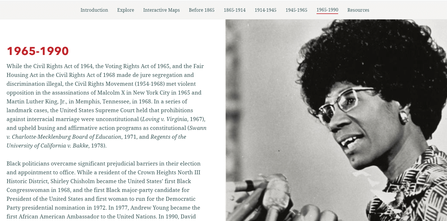
Explore New York City’s Black history through its landmarked buildings and historic districts via a new online story map released by the Landmarks Preservation Commission Tuesday.

The former First Free Congregational Church, aka Bridge Street Church, in Downtown Brooklyn in 2019. Photo by Susan De Vries
Explore New York City’s Black history through its landmarked buildings and historic districts via a new online story map released by the Landmarks Preservation Commission Tuesday.
The interactive site, dubbed “Preserving Significant Places of Black History,” was launched by the city department in honor of Black History Month and aims to highlight buildings and neighborhoods where African Americans of note lived and fought for racial justice across the five boroughs, according to the Commission’s chief.
“With this story map, our goal is to provide greater accessibility to New York City landmarks and historic districts that reflect the contributions and achievements of African Americans, and illustrate that the fight for racial equity and social justice is as relevant today as it has been over the course of the City’s history,” said LPC chairperson Sarah Carroll in a February 9 release.
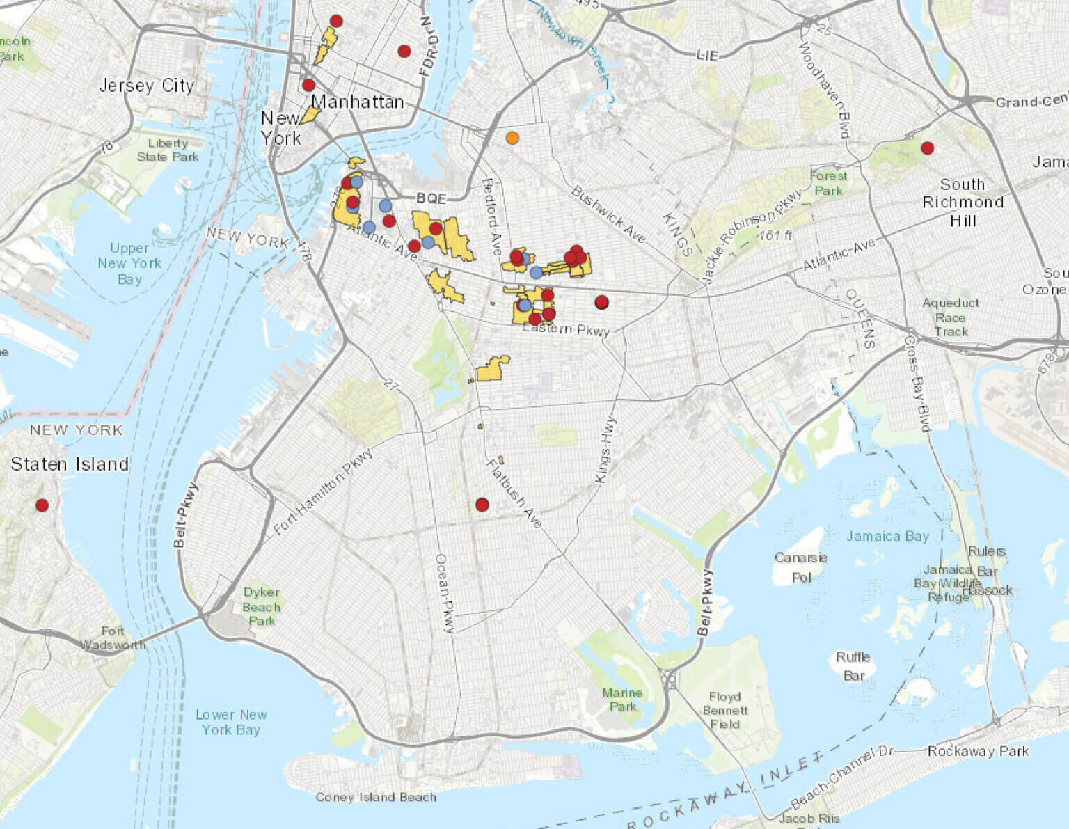
History buffs can scour through the 75 individually-landmarked buildings and 33 historic districts in the map, with prominent residents and movements organized by historical era from the early colonial period through to the late 20th century.

Many of the Brooklyn sites are in and around predominantly Black neighborhoods such as Fort Greene, Bedford Stuyvesant and Crown Heights.
The historical spots include the Crown Heights home of Shirley Chisholm, the first Black woman elected to the United States Congress in 1968, who lived at 1028 St. Johns Place, between Brooklyn and Kingston avenues.
Further east lie the Hunterfly Road houses that were part of Weeksville, a community of free Black landowners established in the 1830s on the border of today’s Crown Heights and Bedford Stuyvesant. On St. Felix Street in Fort Greene is the brownstone where jazz vocalist Betty Carter lived from 1971 until her death in 1998.
There are also some locations in Downtown Brooklyn and Brooklyn Heights, areas that were hubs for slavery-abolitionist activity in the 19th century, such as the home of Harriet and Thomas Truesdell at 227 Duffield Street, which LPC designated just last week on February 2.

The map is not a complete list of significant places of the city’s African American history, but an educational tool and a living document that can be updated with more information about designated buildings, along with future landmarks and historic districts, LPC’s release notes.
First Lady Chirlane McCray said she hopes the document will help New Yorkers learn about the Big Apple’s rich Black history and encourage youngsters to find out more.
“This is the kind of information that should be part of every school curriculum and every New Yorker’s education,” McCray said. “I hope that learning about these sites prompts young people to ask their elders more questions and hope they are encouraged to explore the rich history of their own families and neighborhoods.”
Editor’s note: A version of this story originally ran in Brooklyn Paper. Click here to see the original story.
Related Stories
- LPC Votes Unanimously to Designate Downtown Brooklyn Abolitionist Home as Historic Landmark
- The Inspiring Story of Weeksville, One of America’s First Free Black Communities
- Walkabout: Black Folks in 19th Century Brooklyn
Sign up for amNY’s COVID-19 newsletter to stay up to date on the latest coronavirus news throughout New York City. Email tips@brownstoner.com with further comments, questions or tips. Follow Brownstoner on Twitter and Instagram, and like us on Facebook.


What's Your Take? Leave a Comment