
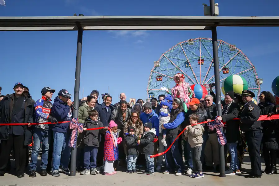
Wayfaring Stations Appear in Prospect Heights and Crown Heights
Lost pedestrians will finally have some help navigating Crown Heights and Prospect Heights, thanks to the DOT’s new wayfinding signs, part of a citywide WalkNYC initiative to encourage walking. The new signs arrived on Washington and Nostrand Avenues late last week, making the two neighborhoods the first in Brooklyn to receive the outdoor maps. (There…

Lost pedestrians will finally have some help navigating Crown Heights and Prospect Heights, thanks to the DOT’s new wayfinding signs, part of a citywide WalkNYC initiative to encourage walking. The new signs arrived on Washington and Nostrand Avenues late last week, making the two neighborhoods the first in Brooklyn to receive the outdoor maps. (There are also maps in Downtown Brooklyn, part of an earlier, unrelated initiative.) The maps show pedestrian walkways, the public transportation layout, and important neighborhood destinations. The city is in the process of installing 100 maps across Midtown, Long Island City, Chinatown, Prospect Heights and Crown Heights. The maps are laser printed on glass, allowing the DOT to wipe the ink away and reprint the glass when the map changes.
City Wayfinding Initiative Coming to Brooklyn [Brownstoner]


What's Your Take? Leave a Comment