
How Red Hook and the Buttermilk Channel Got Their Names
By Suzanne Spellen (aka Montrose Morris) Our neighborhoods all have interesting place names. The streets, thoroughfares and neighborhoods themselves are named for people, landmarks, or natural features that were a part of its history. So it stands to reason that Red Hook, with its storied past, would have some interesting street names. Red Hook The…

By Suzanne Spellen (aka Montrose Morris)
Our neighborhoods all have interesting place names. The streets, thoroughfares and neighborhoods themselves are named for people, landmarks, or natural features that were a part of its history. So it stands to reason that Red Hook, with its storied past, would have some interesting street names.
Red Hook
The name “Red Hook” goes back to the city’s Dutch past.
When settlers first put down roots here, they named the area Roode Hoek because of the color of the soil, and the general shape of the land. “Hoek” means “point” or “corner.” It referred to a point that stuck out into the bay near today’s Dikeman and Coffey Streets.
The Dutch must have felt Gowanus and Red Hook to be just like home. It was a low-lying area, with streams, tidal ponds and marshes leading to the sea. They cut small canals through it, harnessed the water with windmills, and raised streets and farmland.
Centuries before a highway bisected it, Red Hook was a town apart due to the swampy land of Gowanus, and a creek which effectively cut it off from the rest of South Brooklyn. The creek was filled in long before Gowanus’ land was permanently drained for the canal in the mid-19th century.
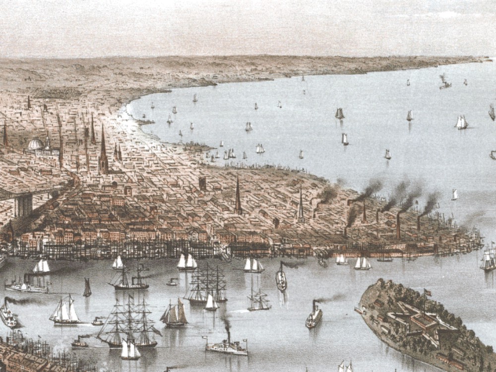 1875 Red Hook, by Currier & Ives. Library of Congress, via Wikipedia Commons
Fort Defiance
The “hoek” that gave the area its name was fortified right before the Revolutionary War, in 1776. General Israel Putnam oversaw fortifications both here and on nearby Governor’s Island. Cannon were mounted behind fortified earthen redoubts, ready to fire on British ships trying to enter the harbor.
During the Battle of Brooklyn, cannon fire from the fort helped hold off British ships, allowing Washington’s Continental Army some escape time.
After the battle the fort fell to the British, as did all of Brooklyn and New York City. Still, the Fort Defiance name lived on.
Buttermilk Channel
Governor’s Island is only a quarter of a mile away from Red Hook, Brooklyn. The strait between them is called Buttermilk Channel. Like all whimsical names, the origins are rather disputed.
Some say the name came about because Dutch farmers used to take their milk to market on the island in boats crossing the channel. The currents in the strait are very choppy, and legend has it that the milk was churned into buttermilk by the time it got there.
Another legend says that the choppy water looked like churned milk, hence the name.
And yet another, this one written about by Walt Whitman says that during a particularly frigid winter in 1817, the channel was frozen solid, and farmers walked their cows across the river between Brooklyn and Governor’s Island. People also rode horse-drawn sleighs across the river.
If that was the origin of the name, it would be impossible now. In 1902, the Army Corp of Engineers dredged the channel, making it much deeper, in order to accommodate modern shipping vessels.
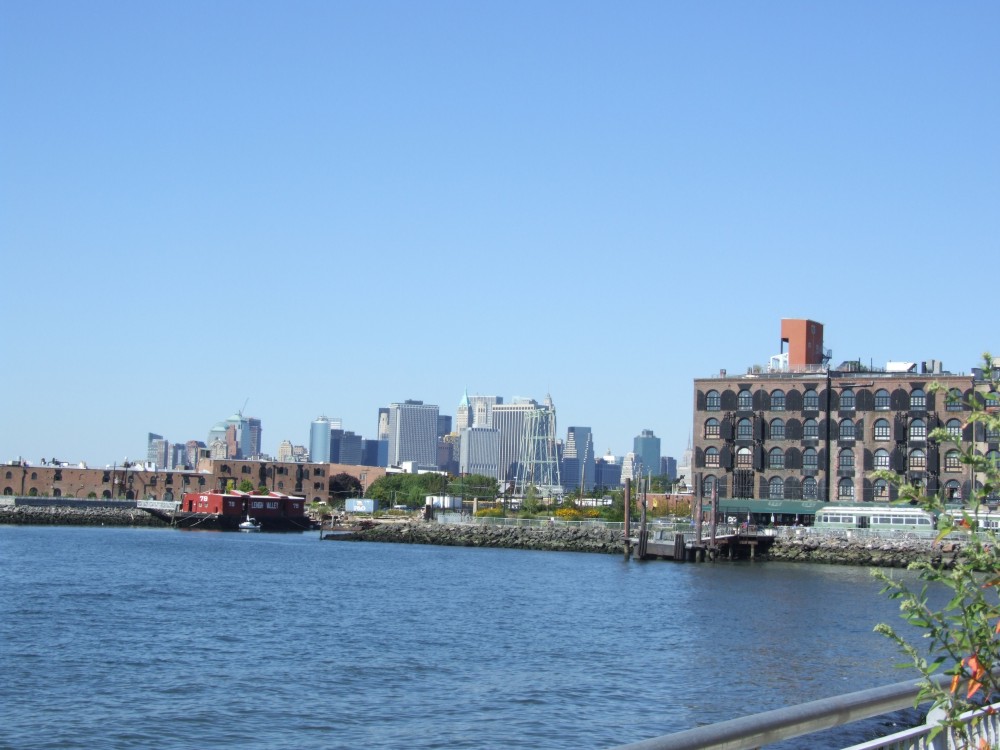 Erie Basin photo by Suzanne Spellen
Erie Basin
The Erie Basin is an artificial breakwater built by William Beard, beginning in the 1850s. It is just around the bend from the Atlantic Basin, which had been constructed in 1841. The Erie Basin was designed to be a much larger protected port for ships and barges traveling down the Hudson from the Erie Canal, as well as from around the world.
Many of the ships in the harbor were loaded with rocks as ballast until cargo was loaded. Beard invited them to dump their ballast in his basin, allowing him to build up the land upon which he built his piers and warehouses.
Beard created 135 acres of docking space. The Erie Basin opened for business in 1864, and soon became one of the most important ports for grain, cotton and other goods. The Basin also housed ship building and repair docks.
The Red Hook Stores, the now iconic warehouse complex that includes the Fairway, are a part of the Erie Basin.
Beard Street
William Beard was one of the most important men in Red Hook’s history. His creation of the Erie Basin, and the empire he built from it, makes him quite worthy of a street name.
Beard was an Irish immigrant, born in 1806. He came to America in 1825, at the age of 19, the same year the Erie Canal opened.
He made his name and his fortune as a railroad contractor, which enabled him to finance his purchase of Red Hook land. He and his partners created the Erie Basin to facilitate the increased shipping in New York during and after the Civil War.
Grain from the Midwest and cotton from the South were two of the main commodities coming into the Erie Basin. The W. Beard & Robinson Stores, also known as the Red Hook Stores, became some of the largest facilities along Brooklyn’s extensive harbor.
William Beard died in 1886. His son, William H. Beard, also worked with him as a contractor, and made quite a name for himself in local politics.
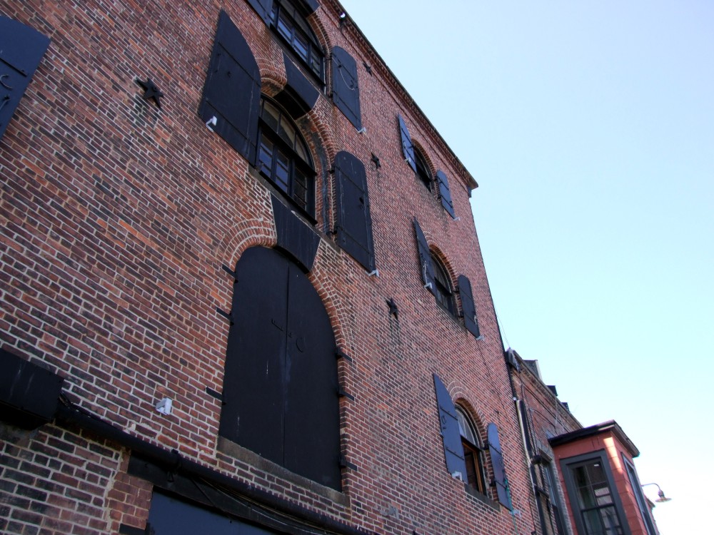 Photo by Suzanne Spellen
Van Brunt Street
The Van Brunt family was a well-established early Dutch family, settling in New Utrecht. This street may be named for Rutgert Van Brunt, who was a member of the NYS Assembly from Kings County from 1783-1784.
Coffey Street
This street is named for Michel Joseph Coffey (1839-1907). He began his political career as a Red Hook district leader, and then rose to become an alderman and state senator. He was so influential in the neighborhood that it was nicknamed “Coffeyville.”
 Widow Jane mural on the corner of Conover and Coffey Streets by Wally Gobetz via Flickr
Conover Street
John Conover was an 18th century Brooklyn landowner. The name is probably the English corruption of the name “Cowenhoven”, an old Brooklyn Dutch family name.
Dikeman Street
Judge John Dikeman (1794-1879) was most likely the inspiration for the street name. He was a Kings County judge and the author of The Brooklyn Compendium, written in 1870. His family was one of the earliest to settle in the Red Hook area. He married Susan Remsen, a member of another old Dutch Brooklyn family.
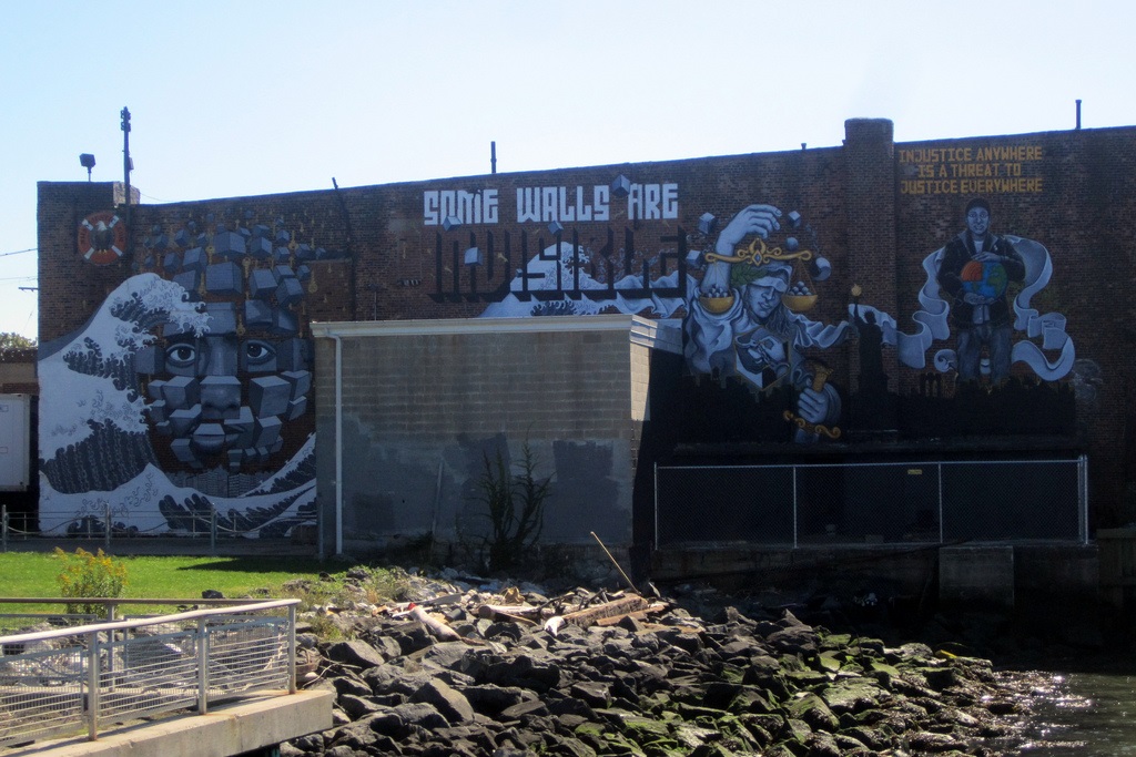 Some Walls Are Invisible mural at 162 Van Dyke Street by Wally Gobetz via Flickr
Van Dyke Street
Jan Thomasse Van Dyck came to New Utrecht in the 1640s. His descendants, Matthias and Nicholas Van Dyke were major landowners in Red Hook. When Matthias died in 1834, his land was purchased by the Red Hook Building Company, which developed it for housing and industrial use.
There are many more streets in Red Hook. Many of the names have historic and interesting origins. We’ll be back at another time with more.
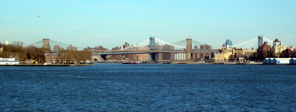
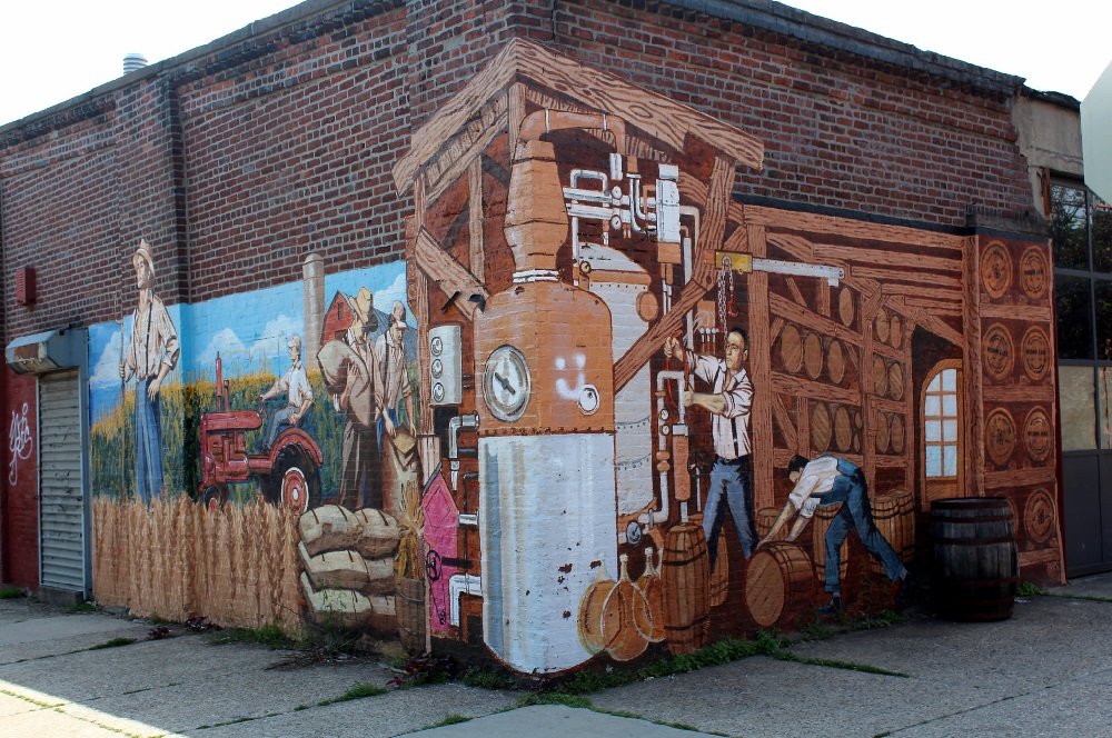
Top Photo: Jim Henderson for Wikipedia
(Sources: Leonard Benardo and Jennifer Weiss – Brooklyn By Name, Landmarks Preservation Commission, Henry R. Stiles – History of Kings County and City of Brooklyn (pub. 1888), and other sources.)
Comments