Pedestrian Plaza Slated, Exact Location Fuzzy
We’re a little confused about where exactly public officials are planning to create this new pedestrian plaza in downtown Brooklyn. Friday’s article on NY1 said that the plaza would be on Willoughby between Pearl and Adams (which only shows up on Google Maps as Brooklyn Bridge Blvd) and would also include adjacent portions of the…


 We’re a little confused about where exactly public officials are planning to create this new pedestrian plaza in downtown Brooklyn. Friday’s article on NY1 said that the plaza would be on Willoughby between Pearl and Adams (which only shows up on Google Maps as Brooklyn Bridge Blvd) and would also include adjacent portions of the Adams Street service road. We’ve put those locations on the map in yellow. Is this consistent with what others have gathered?
Pedestrian Plaza for Downtown B’kln [NY1] GMAP Live*Local
Brooklyn to Get Plaza [NY Post]


Being very familiar with the project, let me clear up a few things:
1. The area being closed is WEST of Pearl Street (not Jay Street) and as one of the above comments said, it only stretches as far as the existing slip from the main Adams Street road to the service road. So no important vehicle routes are blocked besides that coming from Willoughby Street.
2. A LOT of people come through this area — over 2,500 per hour at peak times. Whether you approve of the fast-food restaurants or not, there are huge crowds of lunch people from the government offices, MetroTech, and the educational institutions nearby. The well-used tables currently put in front of the pizza place are also proof that demand is high for seating.
3. A plaza is unlikely to suck the life out of this particular place. It’s a dark street, little used by vehicles (130 max at peak hours, compared to 2,500 pedestrians), and has an awkward sharp right corner that trucks often get stuck in due to illegally parked cars blocking the turn radius. Rather, with so many people passing through, giving them a place to hang out would enliven it from a place to hustle through to a place to linger.
4. This isn’t a pedestrian mall a la 1970s — it’s a plaza, a park. It doesn’t create a pedestrian-only commercial zone, it’s just akin to putting a plaza where a piece of roadway used to be.
5. As for the existing green space by Borough Hall, you’d be surprised how important proximity can be to people looking for a place to hang — even crossing the wide Adams Street crossing could be too much of a pain for some.
Hope this info is helpful.
Pedestrian mall? How 1970s! All they do is suck the life out of commercial streets. Get rid of the street parking but leave the traffic lanes…
But there is already a place to eat a block away. I guess I just don’t understand what the attraction is here. Are hotel guests supposed to wander down to Fulton purchase food and then eat in this outdoor plaza? Because if that’s the case, you need to enhance the dinning options beyond Burger King, White Castle, and Wendys
Still a pedestrian area is nicer than a hardly used street and there are tons of people in the area who could use a place to eat luch etc… with the offices, courts and shops.
I know that stretch of street well. The deadends and blockages are all resulting from recent changes that the city made to accomodate the building that the Mariott is now in.
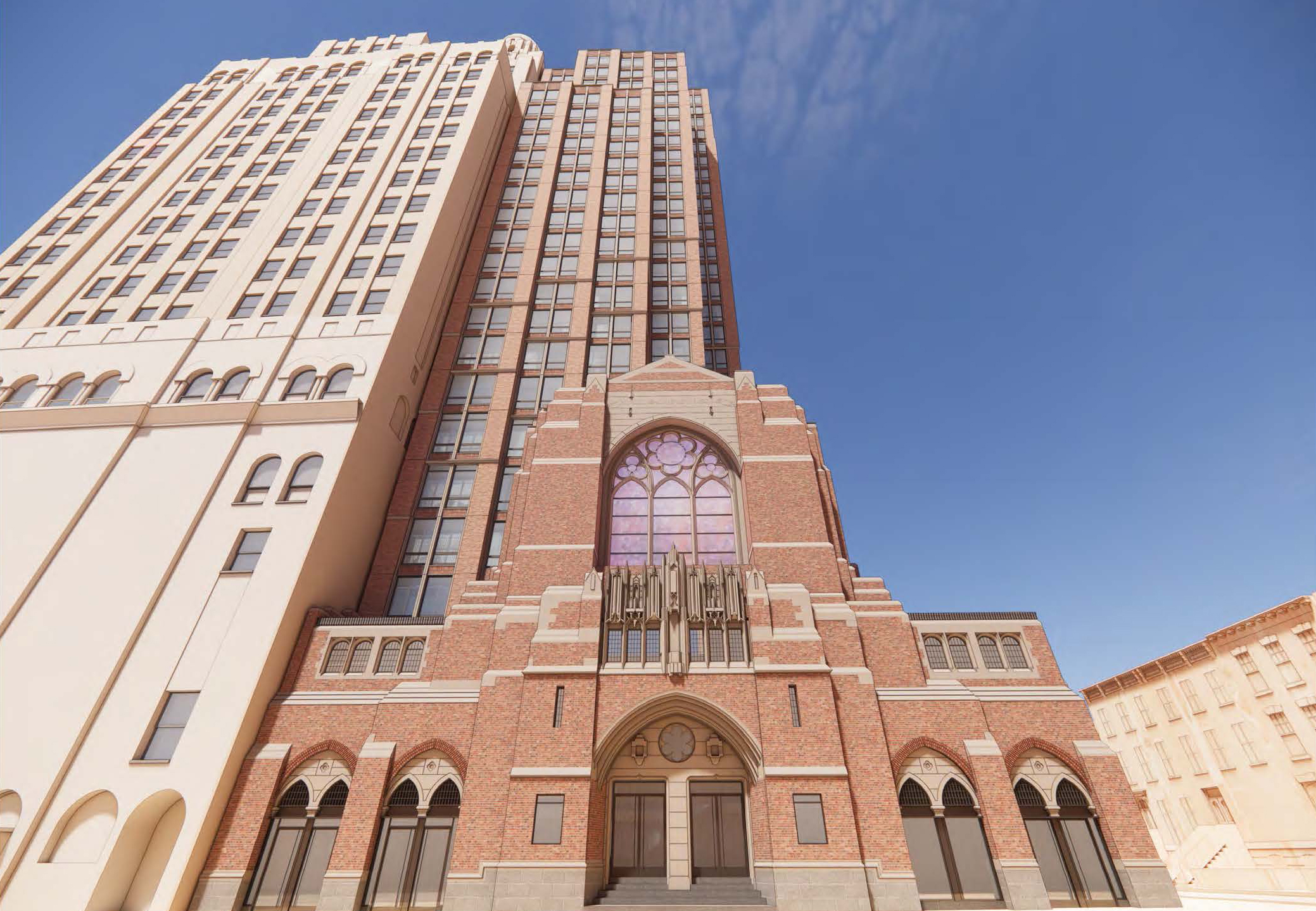
Originally, the large building on the corner in the picture housed a combination of city agencies and the court system. Immediately next door was a parking garage which was used for judges in both civil and family courts which were located on that street. The area where the hotel currenly is was an open greenway that stretched from Adams to Jay Street and the last building on Adams was the family court. The street was designed so that buses and cars could drop people off in front of the various courthouses and buildings without disrupting traffic onto the bridge.
The construction of the hotel and offices above it got rid of the greenway and the bus stops on the service road and the resulting move of the civil court and family court means that other than people entering or leaving the hotel, there is no traffic on that service road.
My question is why someone would go to to this mall, when they can cross Adams and have the open greenway that stretches behind the Municipal Building and the Supreme Court? It is far more asthetically pleasing with benches and a park-like atmosphere. This proposed street is rather narrow and access is to the rear entrances of a number of fast-food restaurants. It just doesn’t seem like it would be a big destination for for folks.
Its my understanding that it would only use the service lane in front of the (old) civil court (15 Willoughby) and the plaza would end at the entry point of the service road from Boreum Place
The location you marked is what I understood as well. I am puzzled by the idea of using the service lane, which functions as the entry way to the growing Marriott. Right now, you have to use that service road to turn right onto Tillary from Adams. Perhaps if that service road became dedicated solely to the hotel and a better right turn configuration was added near Tillary it would improve the flow of traffic.
The traffic patterns on that section of Willoughby and Pearl are strange, to say the least, with blockages and deadends. The powers that be need to make that area either useful for cars or block it off completely. If pedestrians are supposed to linger, there needs to be something added to linger over or it will become a place to loiter.