
Project From MIT Visualizes Just How Much Brooklyn's Streets Are Changing
An MIT project studies change in Brooklyn and beyond using Google Streetview — and identifies some causes of progress and decline.
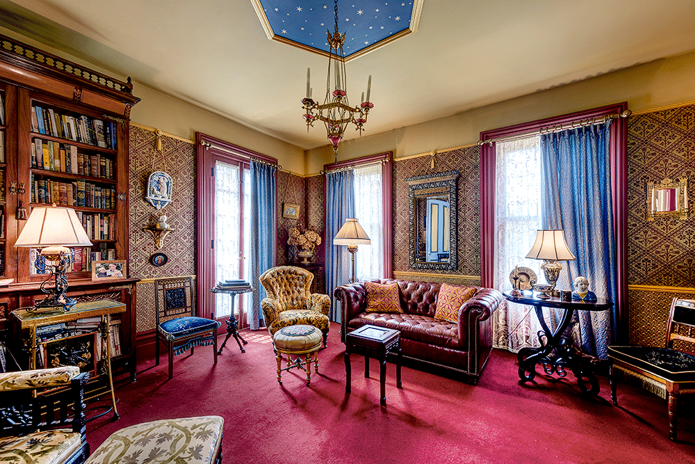
Downtown Brooklyn. Photo by Evan Daniels
If you’ve lived in Brooklyn for a while, chances are you’ve seen the physical streetscape change quite a bit, as new buildings have popped up around the borough. A newly released study documented these changes — and has some ideas as to why some neighborhoods in the borough are evolving.
Using Google Streetview, a group from MIT’s Media Lab looked at several cities across the nation over time to gauge physical changes on individual blocks and streets and score change in the cities. They published the findings of the project, which is dubbed Streetchange, in Proceedings of the National Academy of Sciences. They also created a site to accompany their research. Both use side-by-side photos and GIFS of Google Streetview to show physical changes on a selection of Brooklyn streets.
The project revealed that the amount of change in Brooklyn from 2007 to 2014, the period studied, was the highest of the sampled cities. The study also looked at Baltimore, Boston, Washington and Detroit.
The project found change is pervasive across the borough, and is particularly pronounced in Williamsburg. Midwood and Canarsie also had high levels of change on the street, the study revealed.

Before and after images of Union Avenue in Williamsburg show how pronounced the changes are. The first image shows the street in 2007. Pictured are a relatively empty set of construction sites and a collision repair shop.

The second photo, from 2014, shows a world of difference. Multiple new buildings are present in the shot, including 568 Union Avenue in the left foreground and luxury rental 250 North 10th Street on the right.
In Midwood and Canarsie, the changes were of a different sort. One visualization shows a Midwood building has been altered. Before and after photos of Canarsie reveal negative changes: buildings have been demolished.

Between a number of rezonings and construction booms, Brooklyn changed a great deal in the last decade or so. Downtown Brooklyn has boomed with new residential and commercial developments, Williamsburg experienced significant gentrification and a hotel boom, and Bushwick is undergoing major residential development — to name only three examples.
However, some neighborhoods in Brooklyn didn’t show much change in the streets. More industrialized areas like Bushwick and East Williamsburg didn’t show as much change as places like Williamsburg. Likewise, some residential areas like Dyker Heights also didn’t change in any significant way over the years, according to the study.
The researchers found their results fall in line with three sociological theories of neighborhood change: the human capital theory, the tipping theory, and the invasion theory.
The human capital theory claims neighborhoods with more people and highly educated residents tend to improve faster. The tipping theory claims neighborhoods that look better initially or are on an upward trajectory tend to get more upgrades (think Williamsburg’s continued gentrification) — and vice versa. The invasion theory states that neighborhoods close to city centers and desirable neighborhoods tend to attract interest, people of means and, ultimately, investment.
If you’ve ever had any suspicions about these being causes of gentrification in Brooklyn, you’d be on the right track, according to the study.
Related Stories
- Longtime Brooklynites Reflect on a Changing Brooklyn
- What Is Gentrification, Anyway?
- Does Gentrification Help the Poor? NYCHA Residents Weigh In
Email tips@brownstoner.com with further comments, questions or tips. Follow Brownstoner on Twitter and Instagram, and like us on Facebook.


What's Your Take? Leave a Comment